
Vector Charts Documentation
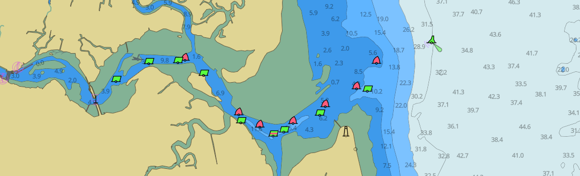
Welcome! Vector Charts is the easiest way to add beautiful, informative vector nautical charts to your maritime-related product.
We provide nautical charts and other maritime geospatial data as an API service. This documentation will walk you through how to use Vector Charts Cloud and our other products in the Vector Charts ecosystem.
Pick a documentation section below to get started.
Getting Started
Cloud
Documentation for the hosted Vector Charts Cloud API.
OEM
Documentation for the self-hosted Vector Charts OEM product.
Crowdsourced Data
Documentation for the Crowdsourced Data program.
Contact Support
Need help with your integration, account, or some other issue? Reach out and our team will get back to you.